
A drone zone map doesn’t just answer the question “Can I take off here?”. It also tells you under what conditions you can fly: maximum altitude, possible authorization, time windows, a temporary zone, or a restriction linked to an airport. It’s the check to do before every outing, even if you already know the place.
In Europe, common rules exist, but each country publishes and updates its own UAS geographical zones. The right approach is to start with the official map of the country where you’re flying, then check the latest information.
What a drone geozone really is
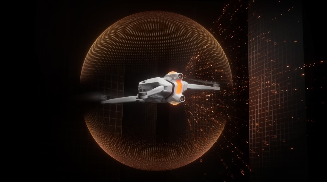
A geozone is a portion of airspace where drone use is prohibited, limited, or subject to specific conditions. It may protect an aerodrome, sensitive infrastructure, a natural site, an event, a military area, or simply reduce the permitted altitude. The key word is “condition”: a colored area doesn’t always mean the same thing from one country to another.
So don’t rely on a simple screenshot found on social media. Boundaries can be temporary, and local rules add to European rules. A drone app is useful for planning a flight, but it doesn’t replace the competent authority’s map.
Before every takeoff
Review the essential checks before taking the drone out.
See the flight checklist →Where can you officially check a flight zone?
- The national authority’s map: this should be your first reflex. Each member state publishes its own data and access rules.
- EASA tools: the European Union Aviation Safety Agency explains how geozones work and provides a demo map for states using the common digital format.
- Temporary notices: events, rescue operations, exercises, or incidents can change the situation in a place that’s usually accessible.
In France, check official resources before you fly; when traveling, don’t automatically apply the French map. The destination country sets its own procedures, including for registration, authorization requests, or remote identification.
How to read a map without getting it wrong
Start by searching for the exact takeoff point, not just the town or the nearby beach. Then zoom in enough to see the zone boundary, its altitude, its time windows, and the legend. A restriction may apply only above a certain height, at certain times, or to a small part of the site.
Then ask yourself four simple questions: does the zone allow flight? what maximum altitude applies? is authorization required? is the rule permanent or temporary? If an answer is missing, assume the flight isn’t prepared well enough and look for the corresponding official source.
The most common mistakes
- Confusing a commercial map with a regulatory map. An app may be out of date or oversimplify a rule.
- Checking the zone a week before, then not checking again. Temporary restrictions exist for exactly that reason.
- Forgetting altitude. A place isn’t necessarily “free” or “forbidden”: the permitted height can change.
- Thinking you’re covered because the drone weighs under 250 g. Weight doesn’t cancel geozones, privacy rules, or local restrictions.
A five-minute pre-flight routine
- Open the official map for the country and find your takeoff point.
- Read the legend, the altitude, and any conditions.
- Check today’s temporary restrictions.
- Check the weather, visibility, and real obstacles around you.
- Set your drone’s maximum altitude and return-to-home accordingly.
This routine is especially important in urban areas, near an aerodrome, on the coast, in a park, or when traveling. If the location is ambiguous, the responsible choice is to change spot or get the required authorization.
Fly with peace of mind
Understand the rules in the city before planning your route.
Check city rules →Key takeaways
The official map isn’t an administrative formality: it’s your decision tool before takeoff. Check the exact location, vertical limits, conditions, and any temporary restrictions. Then adapt your flight plan—or don’t fly if the framework isn’t clear. That reflex is what lets you enjoy your drone without putting others—or your gear—into a tricky situation.





Leave a Reply